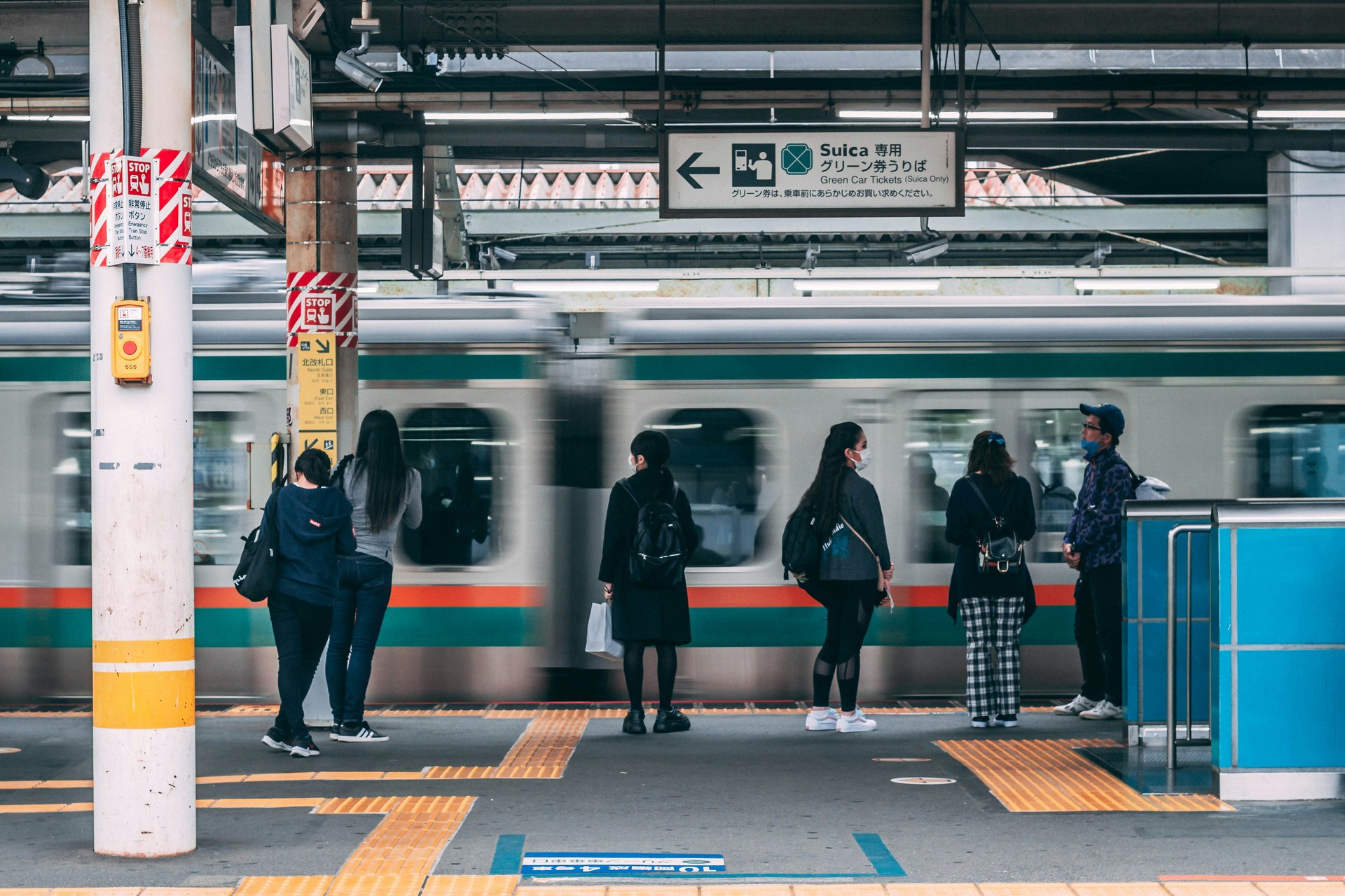
Boston scores 83 out of 100 on Walk Score (classified as "Very Walkable"). The MBTA subway system—three heavy rail lines (Red, Orange, Blue), one light rail (Green), and one bus rapid transit line (Silver)—serves approximately 153 stations connecting central neighborhoods to downtown. Business travelers can reach the Hynes Convention Center via Green Line, while the Freedom Trail's 2.5-mile route requires no subway access.
This guide identifies Boston neighborhoods and hotels within blocks of T stations, with specific transit connections and walk times to major attractions.
Best Neighborhoods to Stay in Boston Without a Car
These neighborhoods offer direct access to MBTA stations, short walking distances, and easy connections to major attractions and business areas.
Back Bay
Back Bay sits on the Green Line (Copley, Arlington, Hynes stations covering branches B/C/D/E) and Orange Line (Back Bay station). Orange Line trains reach Downtown Crossing in 5 minutes. Newbury Street's eight blocks run parallel to the Green Line between Arlington and Hynes stations. Copley Square holds the Boston Public Library and Trinity Church, both within 2 blocks of Copley station.
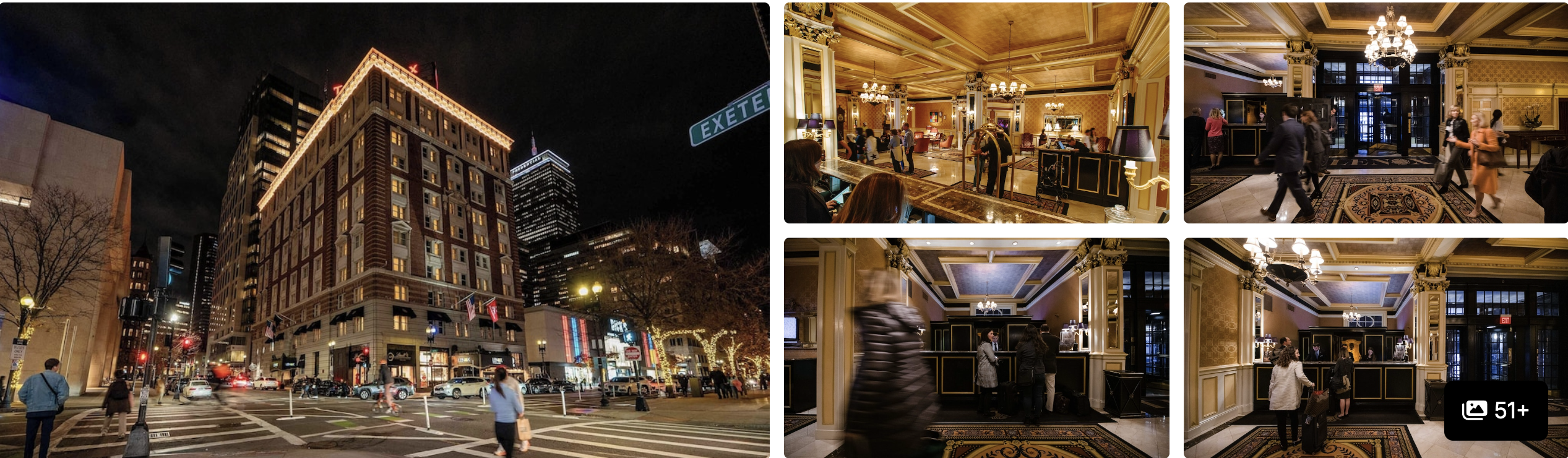
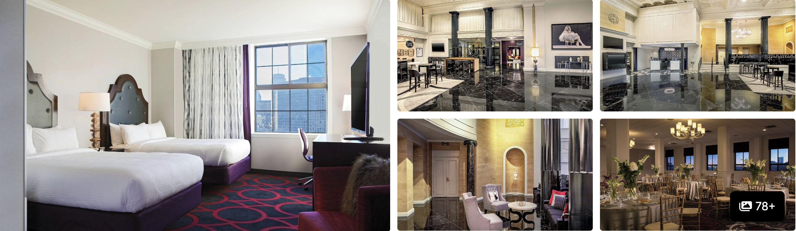
The Lenox Hotel
Located at 61 Exeter Street stands one block from Copley Green Line station. Back Bay station connects Orange Line service to North Station (10 minutes) plus Amtrak and MBTA commuter rail. The Prudential Center sits 3 blocks west of Hynes station, the Hynes Convention Center 2 blocks north.
Downtown Crossing and Financial District
Downtown Crossing connects Red and Orange Lines beneath Washington Street. Red Line trains reach Harvard Square in 15-20 minutes depending on schedule. Orange Line trains reach North Station in 8 minutes. The pedestrian mall along Washington Street runs between Summer and Temple Streets. Boston Common starts 2 blocks west at Park Street station.
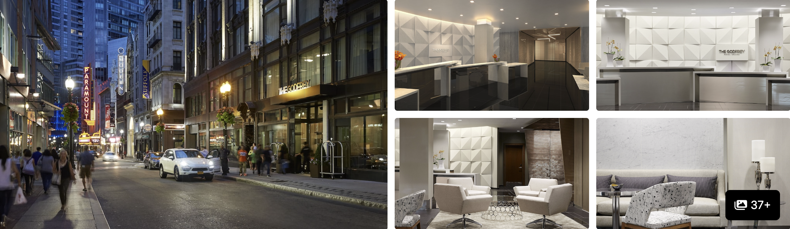
The Godfrey Hotel Boston
(505 Washington Street) sits above Downtown Crossing station. Hyatt Regency Boston stands 0.3 miles from South Station—a 6-minute walk via Franklin Street. South Station connects MBTA subway, Amtrak Northeast Corridor trains, MBTA commuter rail, and Peter Pan/Greyhound intercity buses.
Cambridge
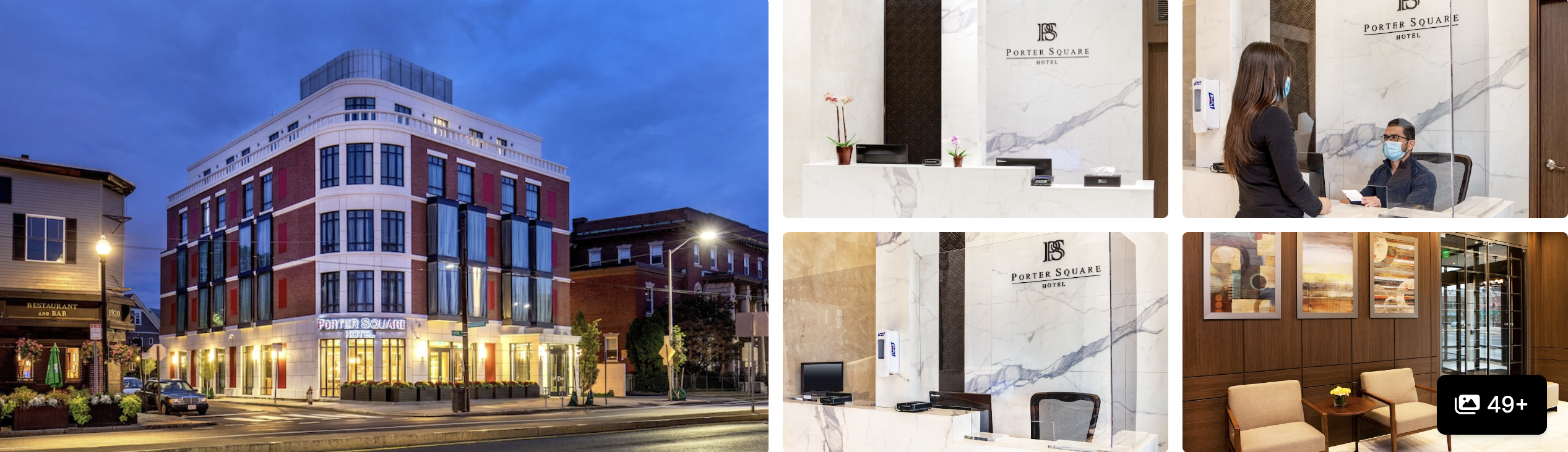
Porter Square Hotel
stands 0.1 miles (one-minute walk) from Porter Square Red Line station at 1924 Massachusetts Avenue. Harvard Square sits 4 stops south; South Station sits 8 stops away. Porter Square's blocks within 5 minutes of the station include independent restaurants on Mass Ave and grocery stores on White Street.
Harvard Square's Red Line station places the Harvard Museum of Natural History 8 minutes north on foot via Oxford Street. Harvard Yard sits directly across Mass Ave from the station exit. Multiple hotels occupy blocks between the station and the Charles River.
Seaport District
Silver Line bus rapid transit connects South Station to Seaport in one stop (10 minutes, though buses share some road space with traffic). The Institute of Contemporary Art stands at 25 Harbor Shore Drive, 4 blocks from World Trade Center Silver Line stop. Boston Convention and Exhibition Center occupies D Street between Summer Street and Congress Street.
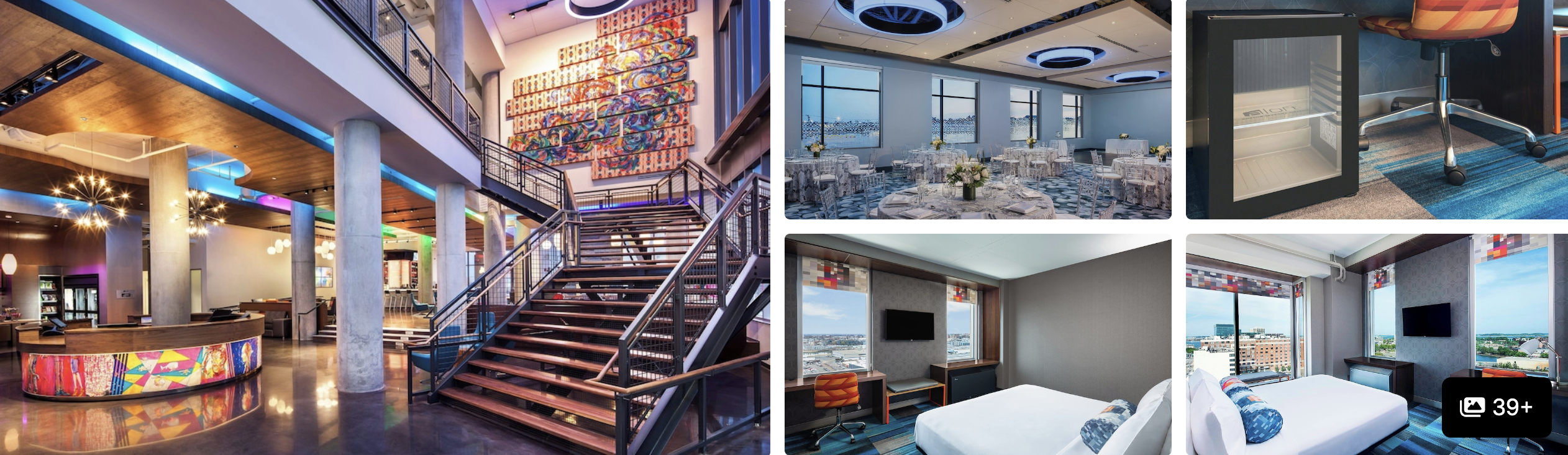
Aloft Boston Seaport
(401-403 D Street) sits 2 blocks from World Trade Center Silver Line stop. Renaissance Boston Waterfront Hotel connects directly to the convention center via indoor walkway. The Harborwalk waterfront path runs from World Trade Center stop east to Black Falcon Terminal.
Beacon Hill
Charles/MGH Red Line station serves Cambridge Street at the base of Beacon Hill. Park Street station (Red and Green Lines) sits at the southeast corner where Beacon Hill meets Boston Common. The Massachusetts State House occupies Beacon Street above Park Street station. Acorn Street's cobblestones sit 3 blocks uphill from Charles/MGH—steep grades require walking shoes.
Hotels along Cambridge Street near Charles/MGH maintain flat walking to the station. Properties near Park Street provide subway access but sit at the neighborhood edge. Charles/MGH to TD Garden measures 12 minutes north on foot via Cambridge Street.
North End
Haymarket station (Orange and Green Lines) sits at the south edge of North End, 5 minutes on foot to Hanover Street via Cross Street. North Station (Orange and Green Lines) sits at the west edge, 8 minutes to Hanover Street via Causeway Street. Paul Revere's House occupies 19 North Square, 6 blocks from Haymarket. Old North Church (193 Salem Street) sits 8 blocks north of Haymarket.
Courtyard Boston Downtown/North Station
(275 Causeway Street) stands across from North Station entrances. TD Garden shares the building. Faneuil Hall sits 10 minutes south via Congress Street.
How Boston's MBTA System Works
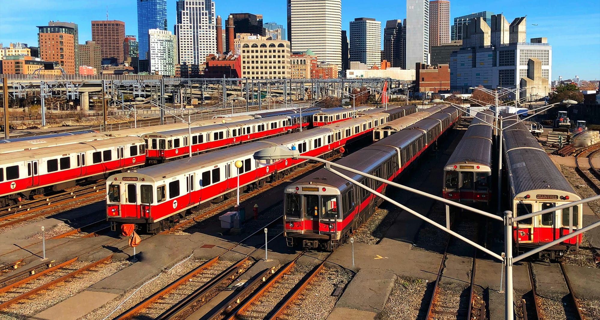
The MBTA runs Red, Orange, and Blue heavy rail lines; Green light rail with four branches (B, C, D, E); and Silver bus rapid transit. Park Street and Downtown Crossing serve as main transfer points.
- Red Line: Alewife to Braintree/Ashmont
- Orange Line: Malden to Jamaica Plain via Back Bay and North Station
- Green Line: Four branches serving Fenway, Brookline, and western areas
- Blue Line: Wonderland to Bowdoin (20-25 minutes end-to-end); Airport station connects to Logan via free shuttle buses
- Silver Line: South Station to Seaport (SL1 continues to Logan terminals); operates on dedicated lanes with some shared road space
Fares cost $2.40 per ride using CharlieCard (reloadable at station machines). CharlieCards provide free transfers between lines. 7-day unlimited pass costs $22.50; 1-day pass costs $12.75. The MBTA mobile app shows real-time arrivals and trip planning.
Walking Between Boston Neighborhoods
Back Bay to Boston Common via Boylston Street measures 0.8 miles (15 minutes). Downtown Crossing to North End via Cross Street measures 0.6 miles (12 minutes). Seaport to South Station via Summer Street measures 0.8 miles (15 minutes). Beacon Hill's slopes add 5-10 minutes to walks starting from Charles Street.
The 2.5-mile Freedom Trail connects 16 sites from Boston Common to Bunker Hill Monument via red brick lines in sidewalks. The complete walk takes 2-3 hours with stops. Most sites charge no admission; Paul Revere's House and Old South Meeting House charge $5-6.
Car-Free Day Trips from Boston
MBTA commuter rail connects Boston to coastal towns and historic sites within 90 minutes. Salem sits 30 minutes from North Station on the Newburyport/Rockport Line, with the Salem Witch Museum and maritime district within walking distance of Salem station. Rockport occupies the line's northern terminus (65 minutes from North Station) with beaches and Bearskin Neck shops accessible on foot from the station.
Concord sits 40 minutes from North Station via Fitchburg Line, placing Walden Pond 1.5 miles from the station (accessible via local bus or bike). Lexington requires bus #62 or #76 from Alewife Red Line station (30 minutes) to reach Lexington Battle Green and Minute Man National Historical Park visitor center.
Seasonal ferries operate May-October from Long Wharf (near Aquarium Blue Line station) to Provincetown at Cape Cod's tip (90 minutes). Bay State Cruise Company runs daily service with bikes allowed onboard. All commuter rail trips require separate fares from subway ($6-13 one-way depending on zone); purchase via MBTA mobile app or station ticket machines.
Getting to Logan Airport Without a Car
Blue Line connects to Logan via Airport station plus free shuttle buses to all terminals. Green or Orange Line riders transfer to Blue Line at Government Center or State Street. Total time from downtown hotels: 25-35 minutes including transfer and shuttle.
Silver Line SL1 runs direct from South Station to all Logan terminals without transfers (20-25 minutes depending on traffic). Both options cost $2.40. Taxis and rideshares take 10-20 minutes from downtown with fares $25-40 including tolls.
Boston for Car-Free Travel Planning
Staying near Red, Orange, or Green Line stations in Back Bay, Downtown Crossing, or Cambridge keeps business districts, museums, and conference centers within roughly 30 minutes by subway, without relying on taxis or rideshares.
At Dyme, we turn all travel into a force for good while helping you save money. We use our profits to invest in clean energy projects that provide communities with cheaper electricity, create jobs, and reduce reliance on fossil fuels. Whether you're booking a hotel near Porter Square or a Seaport convention property, your stay through Dyme contributes to solar installations and renewable infrastructure in developing markets.
Become a Dyme member to support cleaner, low-impact travel and unlock exclusive prices.